Overview
Beginning at Dennis Cove Trailhead this trail leads to many places.
Starting with a flat approach hikers are eased into a gentle hike. Most hikes that begin here are not difficult. From here you can reach Laurel Falls in about an hour in most cases.
Once at the falls you can choose to return or continue on to reach other trails. Following the Appalachian Trail this trail leads to Watauga Lake and beyond. OR you can choose to hike to the Laurel Fork Trailhead via the Hampton Bluelone Trail.
The possibilities are endless.
Trail at a Glance
- Location
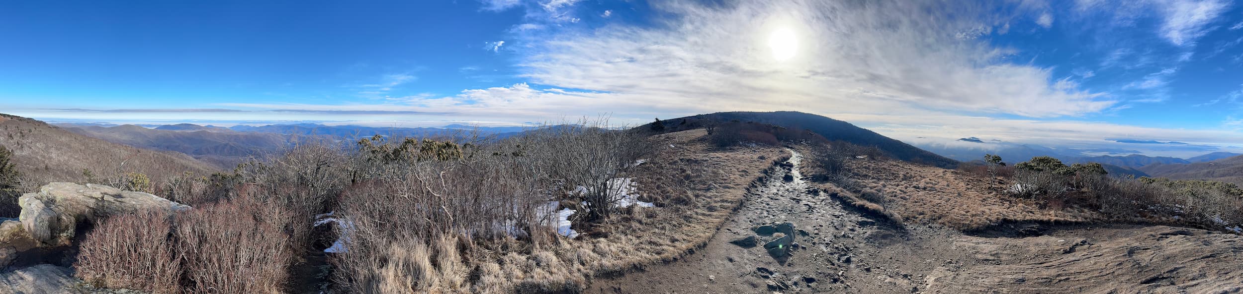
- Laurel Falls is found in the Pond Mountain Wilderness Area. Two acces points make it and easy hike. Begin on the Hampton Blueline Trail or the Appalachian Trail. Both offer amazing views and a peaceful hike.
- Terrain
- These trails are well maintained. However they are natural trails and can be uneven or have loose terrain. Caution is always required when hiking.
- Seasonal considerations
- The trails around Laurel Falls can become slick or covered in ice in colder months.
Routes
Laurel Falls to Hampton Blueline Loop
A peaceful hike through the Pond Mountain Wilderness, passing by Laurel Falls and returning to Dennis Cove trailhead via Laurel Fork Trail.
- Distance
- 5.4 miles loop
- Estimated time
- Approximately 3-6 hours
- Trail type
- Loop
- Difficulty
- 0.75 out of 5 (Low difficulty overall with sections of moderate)
- Elevation
- About 930 ft of climbing
Laurel Falls to Hwy 321 via Hampton Blueline Trail
A short point-to-point trail in Hampton, TN
- Distance
- 3.6 miles one way
- Estimated time
- Approximately 3-5 hours
- Trail type
- Point to point
- Route
- Laurel Falls to Laurel Fork Trailhead
- Difficulty
- 0.75 out of 5 (Low difficulty with some harder sections.)
- Elevation
- About 290 ft of climbing
Laurel Falls Trail
A lovely hike to Laurel Falls through the Pond Mountain Wilderness
- Distance
- 2.7 miles round trip
- Estimated time
- Approximately 3 hours
- Trail type
- Out and back
- Difficulty
- 0.75 out of 5 (Low difficulty with some sections of moderate difficulty)
- Elevation
- About 620 ft of climbing
Tap a route to show or hide it.
Key Points
- The trail starts gently. The opening portion gives you time to settle into the walk before the terrain becomes more demanding.
- The descent to the falls is the harder part of the route. Some sections require more attention and effort than the early portion of the trail suggests.
Before You Go
Wear footwear appropriate for uneven forest terrain and conditions that may become wet or slick. Bring water and weather-appropriate clothing for a few hours in the mountains.
Pace yourself with the return trip in mind. The trail may feel relatively easy at the beginning, but the more demanding sections near the falls will need to be climbed again on the way back.
Weather can significantly affect trail conditions. Check conditions before leaving and be prepared to adjust your plans when wet, icy, or otherwise hazardous conditions are present.
If you’re unfamiliar with Dennis Cove, make sure you know the exact parking and starting location for your route before arriving.